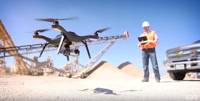
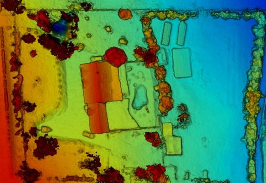
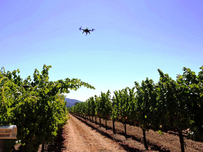
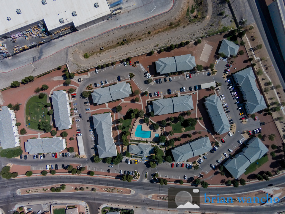
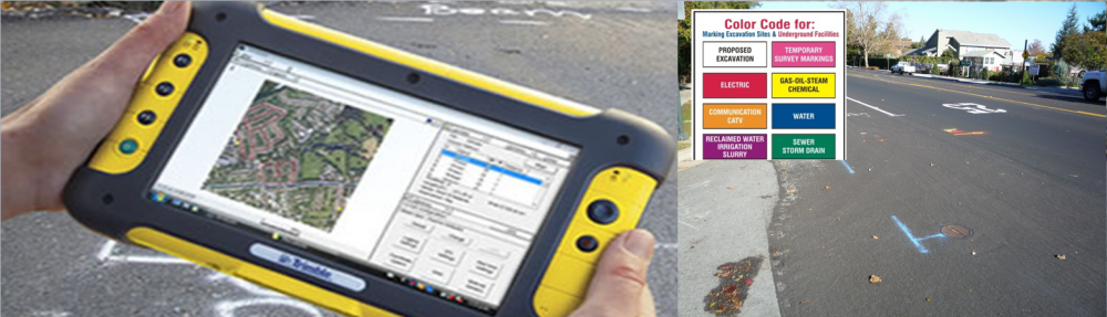
We’re proud to announce the addition of Drone Services to our list of products. Drones are a great tool for landscape measurement, crop health analysis, project ( construction site) management or site inspections.
Imagery can be captured at regular intervals during project construction, are available within hours and can be used to create custom maps.
![solo drone ready to take off](http://www.advanced-map.com/wp-content/uploads/solo_small.jpg)
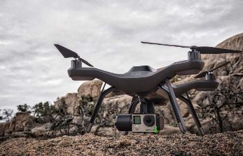
Sample drone applications include:
![solo drone taking off on construction site](http://www.advanced-map.com/wp-content/uploads/solo_construction_site1.jpg)
![drone services application - digital elevation model](http://www.advanced-map.com/wp-content/uploads/elevation_screenshot.jpg)
![drone flying above grape vines](http://www.advanced-map.com/wp-content/uploads/solo_wine_grapes_2.jpg)
![community overview photo](http://www.advanced-map.com/wp-content/uploads/aerial_1.jpg)