
Custom maps can be seen as a by-product of utility mapping. However, GIS technology provides the best tools for mapping our environment. Such tools can be used for mapping above ground and underground appurtenances/assets and much more.
Our design team creates custom community maps according to your needs: custom labels, custom icons and legends, highlight any points of interest either inside the city ( police station, firehouse, library, hospital) , inside the community ( clubhouse, pool, parks, playgrounds, landscape) or inside the campus ( dorms, lecture halls, administration..) . For larger residential, commercial properties , as well as for government agencies, these custom maps can show location of utilities ( water, phone, sewer, electric, cable) and even location of irrigation controllers.
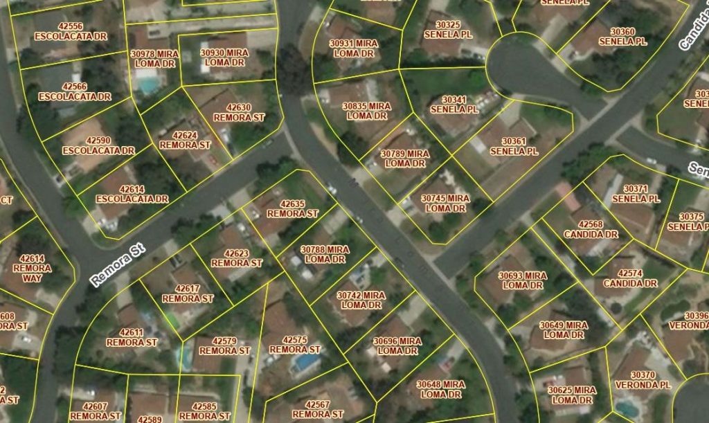
Custom Site Maps are the best method to document infrastructure location and information as well as measuring landscape or other areas.
Site maps can show location of bike or horse trails, parks, water fountains, irrigation valves and irrigation panels. Such maps can also provide the means for communicating information and using maps re-enforces the old say “a picture is worth a thousand words”.
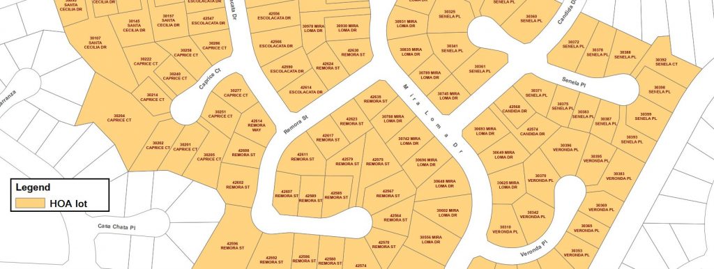
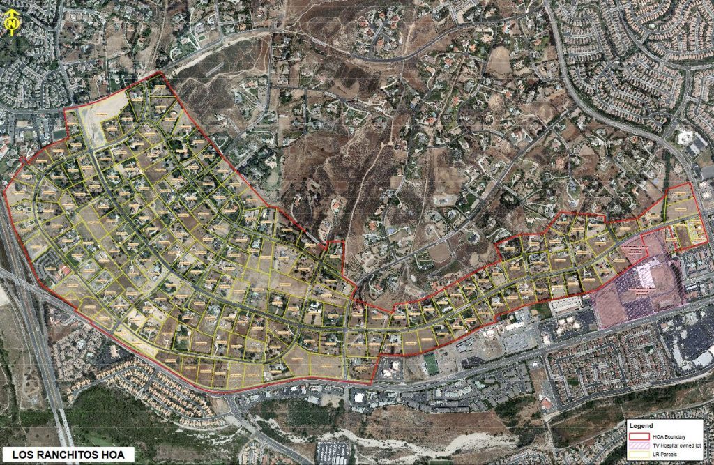
Below is one of the large (22 x 36) custom maps we created for a community located in Southern California
Please call/text or use our Contact page to inquire about your mapping project.