GIS Data Conversion and Analysis Services
Here are a few samples of GIS data mapping and analysis. Please keep in mind that each project has different mapping and analysis needs.
County/City Assessments ( tax, CFD, Zones of Benefit….) calculation
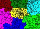
We consider GIS being the most appropriate “tool” to be used for assessment calculation and reconciliation. Why? Simply because all these fees are associated with parcels (APN-s) and all have a location. The location of these parcels , along with acreage , are the factors that determine the fees to be associated with them. GIS offers the perfect solution for visually confirming the accuracy of your calculations.
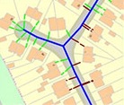
Sometimes , a parcel’s proximity to water/sewer facilities could also be a factor used when calculating fees ( assessments, tax,….) associated with parcels. These facilities are also captured using GIS and become one of the layers of the map used for data analysis. This is where the “power” of GIS is: it allows users to analyze complex data /scenarios by overlaying all “factors” in the same map.
One other advantage of using GIS for “mapping” assessments, is that the same information ( amount, sqft, proximity) can be retrieved at any time ( helpful when handling customer inquiries)
Business location proximity analysis
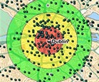
GIS can be used for identifying the best location for a new office, branch or store. Real Estate analysis using GIS allows users to identify properties matching location ( distance from beach) and features ( number of bedrooms, sqft,…) criteria , with just a few clicks of a mouse.
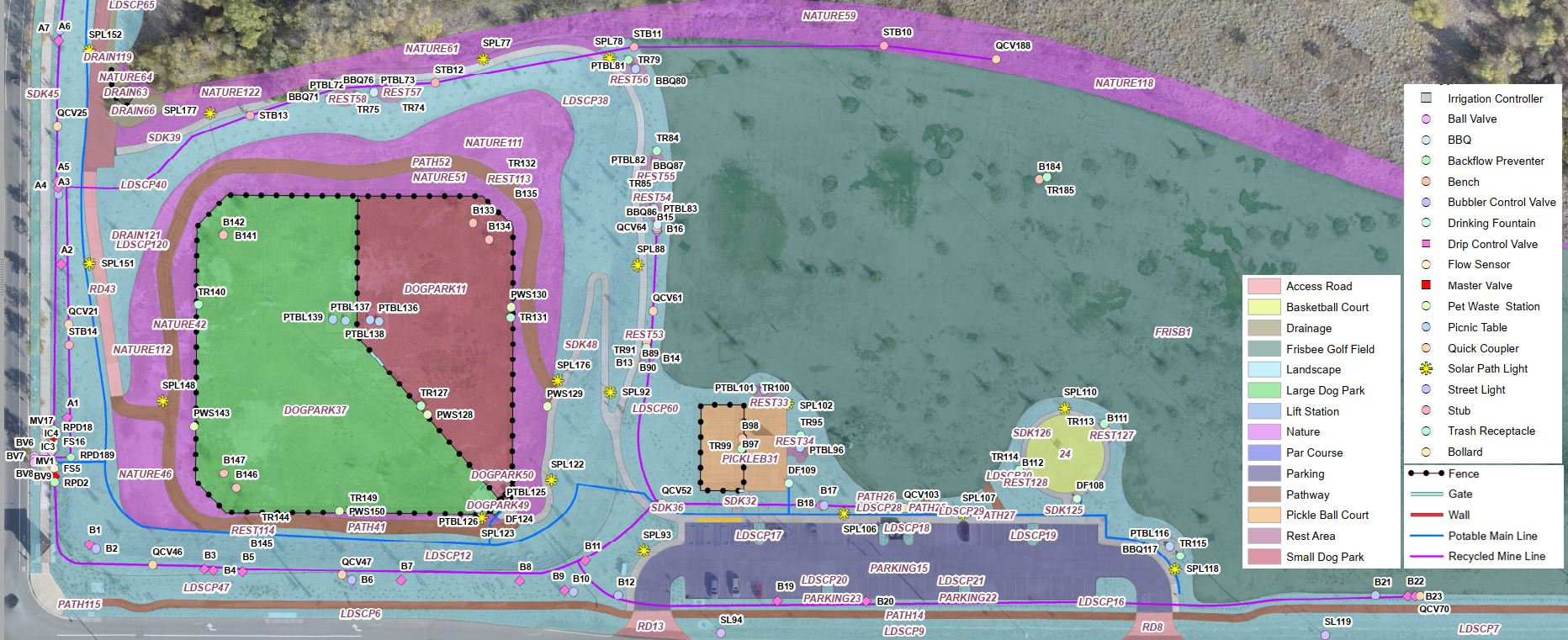
Mapping/modeling our world
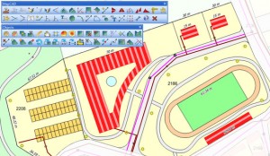
GIS can be used for mapping sites and events. From schools with buildings, sport fields, parking lots, storage facilities and fences to roads, street lights, rivers, lakes or even traffic signs and street striping, GIS can help model them all.
Events like fairs and fires can be mapped using GIS, to better manage them.
Do you have a project you want to learn if GIS could provide a better solution? Please contact us and we’ll be happy to help.