Utilities Mapping Services
We specialize in GPS & GIS solutions. We have over 12 years of experience with data collection (underground and above ground utilities), map production, field solution design and implementation, data structure design and maintenance.
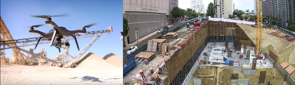
We are ready to put our experience to work for you. GPS-based utilities mapping is the best solution to eliminate guessing when it comes to utility locating ( for maintenance or future improvements). Too many times the plans available for reference, at the front counter of the local utility company , turn out to be anything but “as-built” plans. Technology advancements have made utilities mapping more affordable than it used to be and accuracy has improved, drastically.
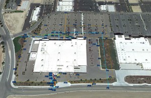
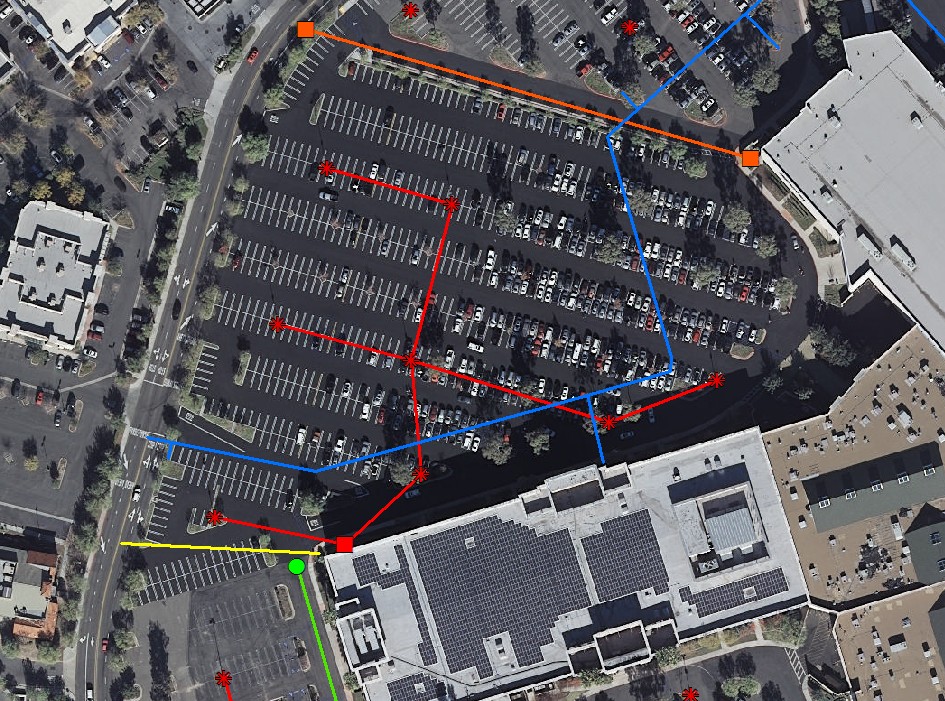
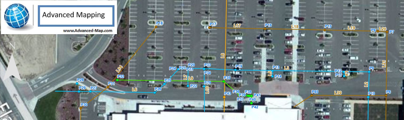
Advanced Mapping offers specialized solutions for asset mapping! We proudly partner with locating companies that are as dedicated as we are in serving their customers! Below are a few examples of such mapped assets/utilities.
Not sure if our mapping products are right for you? Feel free to give us a call. We’ll be happy to go over your project and evaluate if your project will benefit from any of our solutions. We are only a call or email away.
For a list of our services , please visit our Services page.