Landscape Measurement for Better Site Management
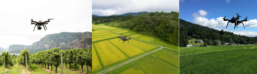
 Getting a clear picture of the area to be maintained is essential to every owner or landscape company. Using technologies like GIS & GPS, allows us to assist with such tasks. The first reason for using these technologies is getting accurate area measurements – this is usually the main reason ( mostly used by landscape management companies, for generating accurate bids). However, advanced users ( like government agencies) will usually take this one step further and use such information to calculate actual water budgets.
Capturing the landscape information can also be used for estimating maintenance quotes and is the information all landscape companies will need/ask for , in order to provide a quote.
Including information like sprinkler controller location, valve location and meter ( water/gas/electrical) location is also beneficial because these are the first items to be looked for in case of an emergency ( like a broken irrigation line ) .
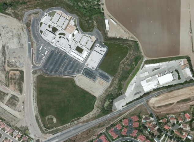
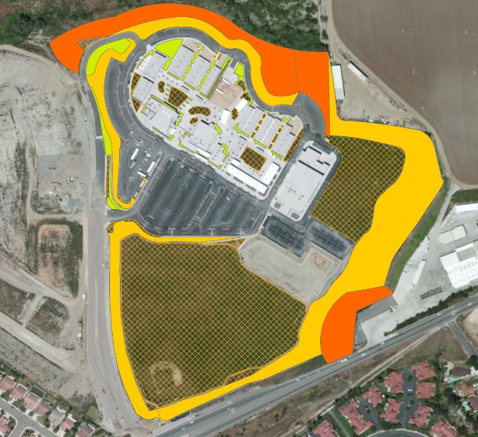 Once captured, landscape information can be presented ( symbolized) in different ways, to help with site assessment. Slopes can be visualized with ease, areas irrigated by each meter can be pinpointed or isolated, irrigation controllers , meters and even sprinkler heads can be shown on a map and all this info can be displayed on top of a Google Earth-like background.
Under current water conditions (extreme drought) managing the water use becomes an important task. In order to manage water use, landscape companies as well as landscape owners ( residential or commercial) need to know information like: how much landscape ( sqft), what type of landscape they need to maintain and what does this mean from a water-use perspective. This is where Advanced Mapping comes to help: we can capture the irrigated area and make information like slope and sqft available for the next step: water budget calculation. Maps of landscaped (irrigated) area can be created as well as maps of the entire irrigation system.
Note: to deal with current drought conditions, many companies plan on/are replacing turf with drought -tolerant plants. However, the idea of going back to turf ( mainly for aesthetics reasons) is not abandoned. Capturing the location of sprinkler heads installed for turf irrigation , before converting to drought tolerant plants, will help lower the cost for replanting turf ( no need to redesign irrigation, you just install the sprinkler heads and …you’re done!)